The Red Sea Jewel: Eritrea’s Timeless Soul
To set foot in Eritrea is to step onto a stage where the geography of the ancient world converges with a modern resilience that is as stubborn as the volcanic basalt beneath its feet. Often defined by its position on the Horn of Africa, Eritrea is not merely a geographic coordinate on the coast of the Red Sea. It is a palimpsest of civilizations, a narrow, sun-drenched corridor that has hosted empires, explorers, and local kingdoms for millennia. From the shimmering archipelago of the Dahlak Islands to the crisp, high-altitude air of the central plateau, Eritrea represents a rare confluence of geological drama and human perseverance.
The essence of the nation is captured in its diversity. Here, the Afro-Asiatic tapestry is woven with threads of multiple languages, religions, and ethnic identities that have managed to coexist within a rugged landscape of stark beauty. To understand this nation, one must first look at how its land shaped its trajectory. Those looking to understand the forces that built this unique identity can explore the history of Eritrea, where the stories of the Aksumite legacy, colonial intersections, and national transformation are laid out in full detail for the student and the scholar alike.
A Landscape Sculpted by Tectonic Ambition
Eritrea’s topography is a marvel of contrasts. As a traveler ascends from the humid, searing shores of the Red Sea, the land rises rapidly into the central highlands, a massif of eroded peaks and fertile valleys that reach altitudes exceeding 2,000 meters. This abrupt transition from coastal plains to cool, mountain air created distinct microclimates, fostering a society that learned to master both the maritime trade routes of the Indian Ocean and the agricultural demands of a mountain harvest.
The coastal strip, largely a harsh desert climate, opens into a massive undersea theater. The Dahlak Archipelago is a collection of hundreds of islands that host some of the most untouched coral reefs in the world. This is not just a paradise for the environmental scientist, but a historical site where ancient dhows once docked, bringing frankincense and gold to the markets of the Roman and Byzantine worlds. For those interested in the milestones of this progression, we suggest you engage with our interactive chronological challenge to see if you can correctly map the turning points that transformed this coastline into a gateway between continents.
The Urban Archive: Asmara’s Living History
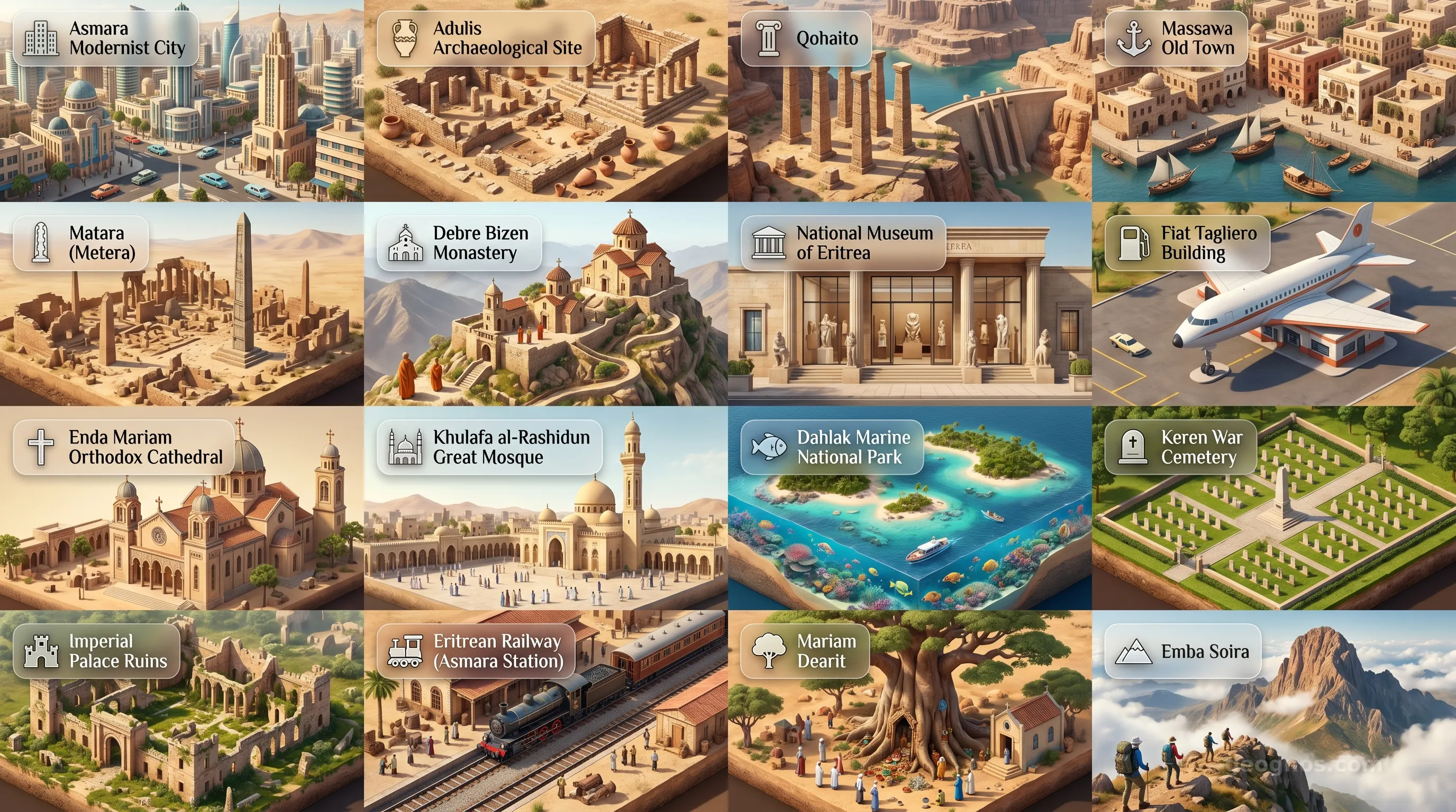
High above the sea, the capital city of Asmara stands as a testament to early 20th-century urban design. Often called the City of Dreams, it houses one of the densest collections of Modernist architecture in the world. Exploring its streets is like walking through a design museum, where Italian Futurist garages resemble aircraft, and Art Deco cinemas reflect a time when the world seemed obsessed with the promise of speed and progress. It is a city that feels preserved in time, a Mediterranean spirit transplanted into an African highland context.
Beyond the urban layout, the soul of Eritrea is found in its sensory experiences. Whether it is the sound of the zither-like krar in a quiet mountain village or the aromatic ritual of a traditional coffee ceremony, the nation invites observers to look deeper. We invite you to experience the cinematic visual archive of our site to view how the major historical events of this land have been captured and preserved through the ages, providing a dynamic look at the figures and eras that define the current map.
Geography as a Cultural Crossroads
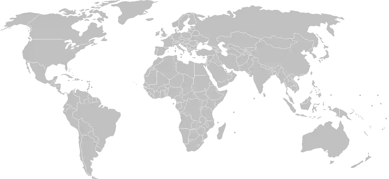
Eritrea is bounded by the Red Sea to the east, Sudan to the west, Ethiopia to the south, and Djibouti to the southeast. This positioning has made it a historical, economic, and strategic linchpin for global shipping and trans-continental movement. Because it bridges the divide between the Middle East and Sub-Saharan Africa, it possesses a syncretic cultural profile. You will hear languages such as Tigrinya, Tigre, and Arabic echoing through its towns, alongside many other local tongues, signaling a population that is as varied as its geography.
However, no study of this region is complete without recognizing the stunning physical landmarks that dot the interior and the coast. The stark desert beauty, the jagged escarpments of the Great Rift Valley, and the coastal wetlands provide a rich canvas for exploration. To get a closer look at the physical majesty of the region, we invite you to browse the Eritrea cinematic highlights, which showcases the most significant locations from a geological and cultural perspective, offering a window into the wonders waiting to be discovered across this storied terrain.
An Invitation to Discovery
For the student, Eritrea is a lesson in how boundaries—whether they are tectonic, colonial, or national—are redefined by the people who inhabit them. For the teacher, it offers a deep repository of lessons regarding environmental adaptation and architectural preservation. And for the traveler, it remains a final frontier of sorts, a place of profound hospitality, ancient mystery, and landscapes that have remained largely untouched by the standardizations of global mass tourism.
As you progress through this GeoGnos atlas page, keep in mind the underlying spirit of this country. Eritrea is a nation that has survived by balancing the volatility of its seismic surroundings with a rigid adherence to its own internal compass. From the arid plains of the Gash-Barka to the urban cool of Asmara, you are invited to learn, investigate, and wonder at one of the most compelling geographies on our planet.